Challenge
For a city tower the location sells as much as the apartment. Buyers ask how far the sea, the airport and the centre are, and a plan of the building does not answer it.
The project is shown in the context of a district and a city: clickable landmarks, infrastructure, and a transition into a specific building.
Explore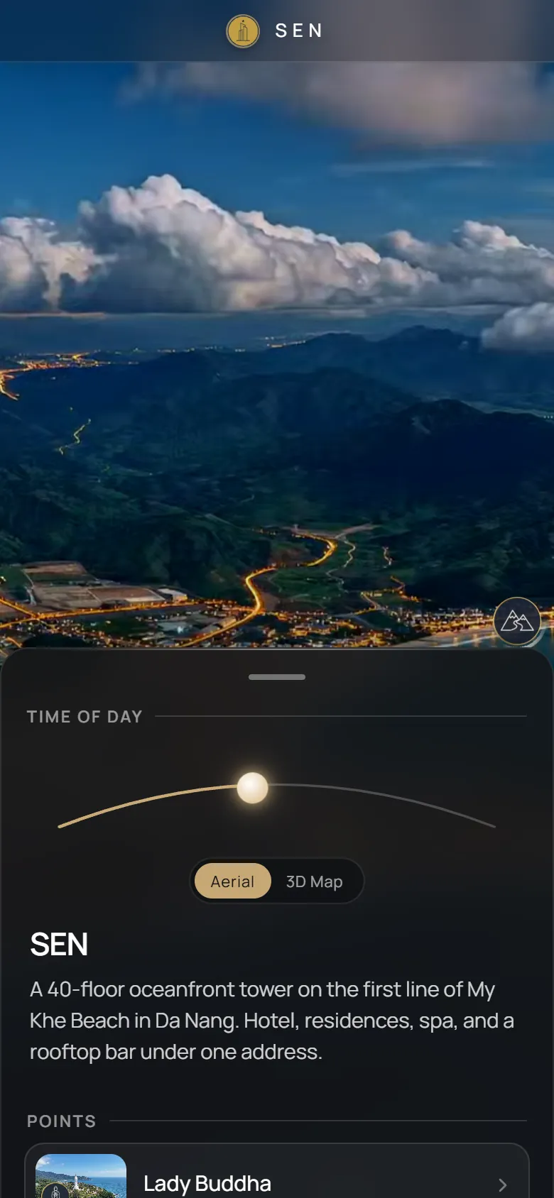
SEN is a residential tower in Da Nang. The presentation starts from the city, shows what is around the building and how far it is, and then goes into the building itself.
For a city tower the location sells as much as the apartment. Buyers ask how far the sea, the airport and the centre are, and a plan of the building does not answer it.
Put the building on the map of the city and let the buyer check distances and the surroundings on their own, then continue into the building.
A city map with 5 landmarks and routes from 1.8 to 27 km. The viewer sees the context first, then the tower, and the same link works for sales calls and for the website.
Every option below is live in the project. Open it and try it.
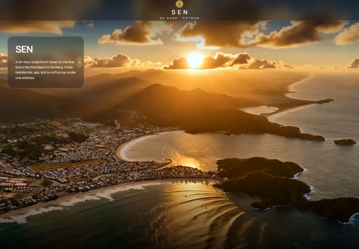
The project starts from the city. The viewer switches between the aerial view of My Khe Beach and a live 3D map with real terrain and streets. The map is fully interactive: drag to move, rotate and tilt, zoom in and out. Icons preview on hover and open on click, a route with distance and travel time is drawn to each landmark, the Nearby layer shows cafes, shops and other places, and a radius around the building shows what is within reach.
Points around the tower, from Da Nang International Airport to Dragon Bridge, Sunworld Ba Na Hills and Hai Van Pass, open as photo and video scenes with a short description, so a buyer can judge the location without a visit.
A smooth continuous 360° orbit turns the camera around the SEN tower and around landmarks such as the Lady Buddha statue. The viewer looks at the building in its real surroundings from every side.
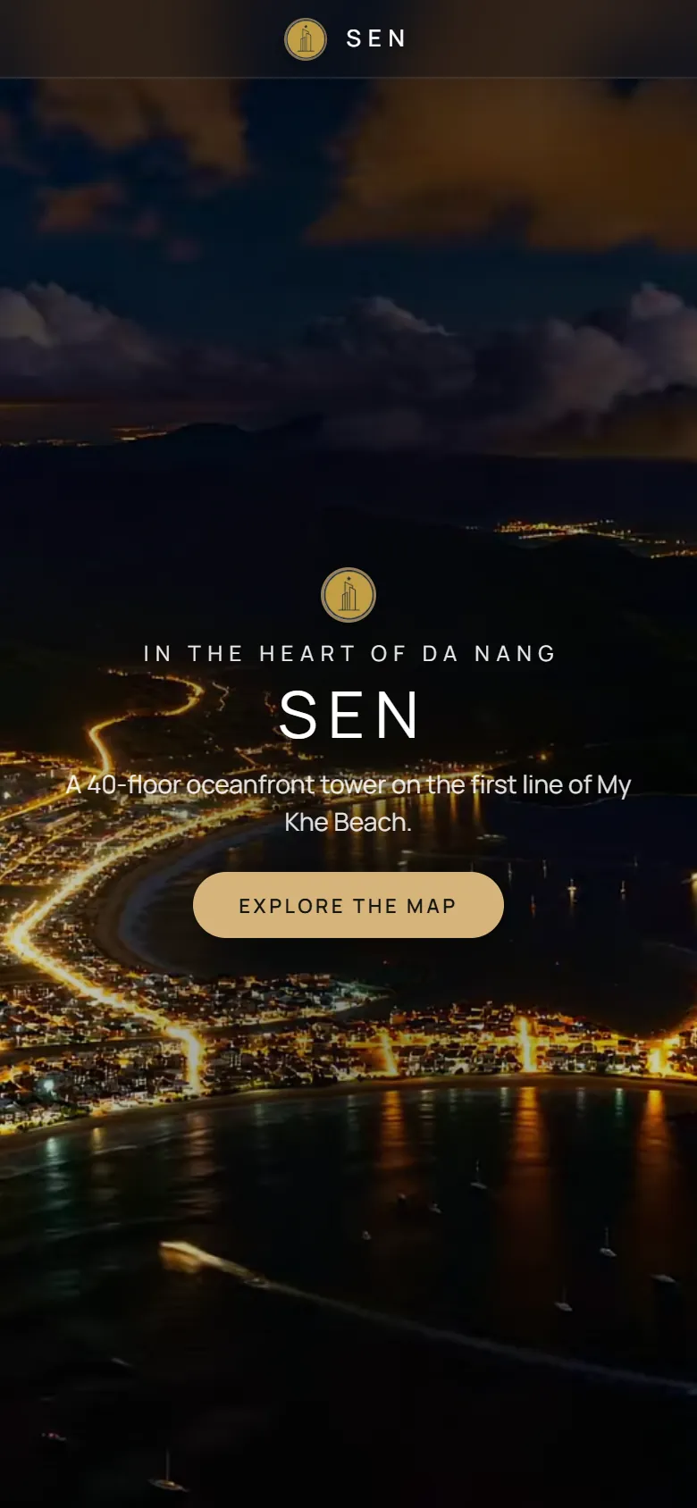
A time slider changes the light over the coast. The viewer plays the whole day as a smooth timelapse or jumps to one of three stages with a button: day, sunset or night with the lights of the city, so the buyer sees the oceanfront at the hour that matters.
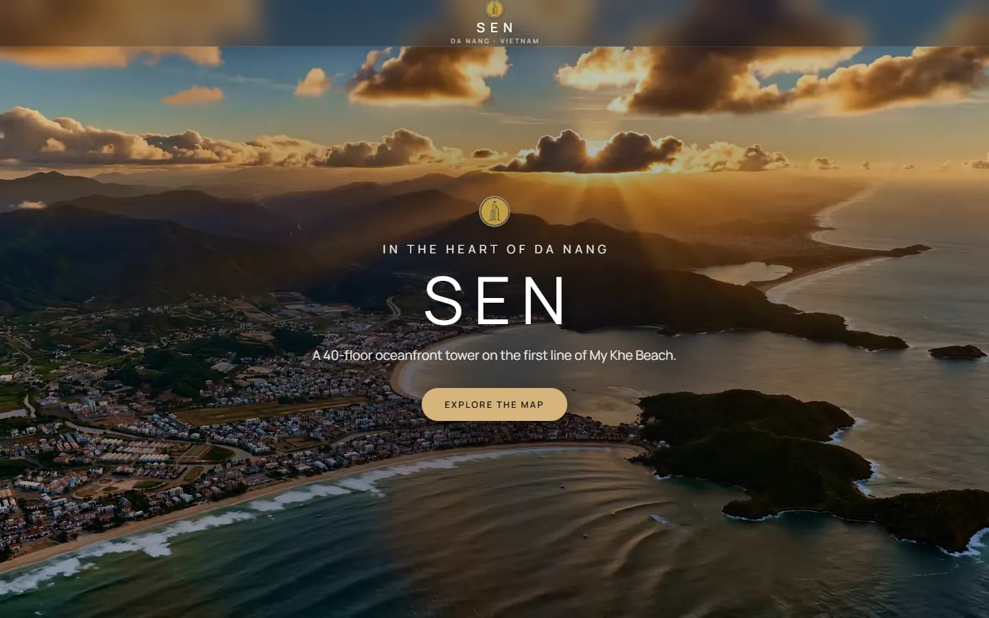
One link opens the same project on a computer, a tablet and a phone. The phone gets its own layout with a bottom sheet.
Foreign buyers check the location and distances without a visit.
Send one link to partners and brokers who sell the tower.
Place the city map next to the apartment catalogue.
Open it full screen at a sales office or an event.
It is a web presentation that starts from the city map, shows the surroundings and distances, and then goes into the building, all behind one link.
Yes. On a phone it opens in a vertical layout with a bottom sheet and a list of landmarks, on a tablet and a computer it opens full screen.
Yes. They check the location, the routes and the surroundings online, without a visit, from a link in a messenger or on the website.
A typical GenPlan project is ready in about two weeks from the moment the materials are received.
Send us the master plan and we will show how it looks as one link.
Start a project